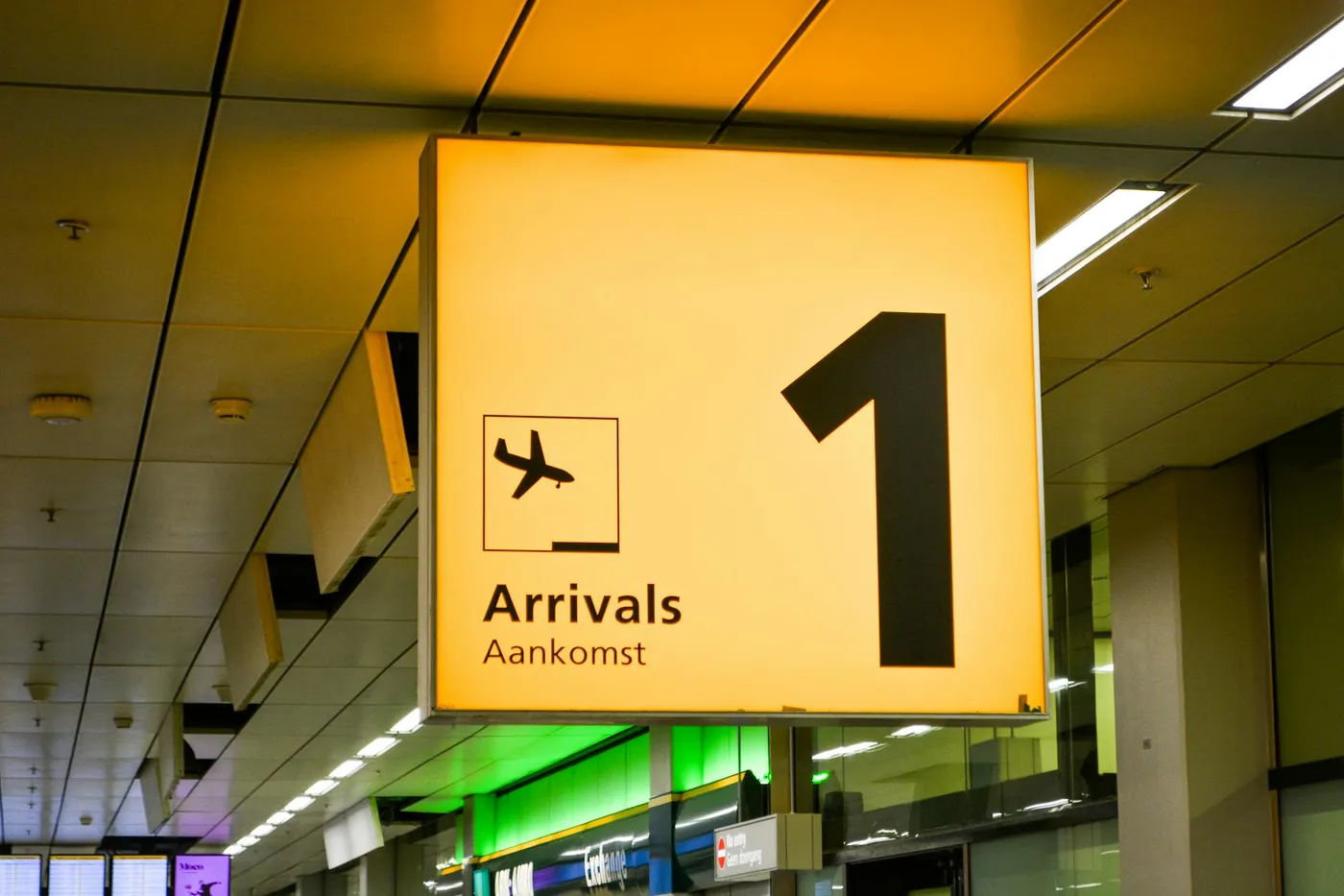
The drive that used to take all day
Before 2022, the drive from Podgorica Airport to Žabljak was a three-hour grind up the Morača canyon - one of the most dramatic roads in the Balkans, and one of the most tiring. The Smokovac–Mateševo motorway section, opened in stages between July 2022 and mid-2024, has cut that down to two hours flat and made Durmitor a genuinely realistic same-day destination from TGD. You can land at 10:00, be standing next to the Black Lake by 13:30, and still be hiking before dinner.
This is the most altitude you will gain from any airport in the Balkans on any single drive - from 33 metres above sea level at TGD to 1,465 metres at Žabljak, in a straight-line distance of barely 100 km. Plan for that before you set off.
Out of the airport and onto the bypass
The exit from TGD is the standard 9 km run north on Golubovci road to the southern edge of Podgorica. You want the Podgorica bypass (Obilaznica) round the west side of the city, not the central route through town - signs for Kolašin, Bijelo Polje and Beograd lead you onto the M2 and then onto the motorway ramp at Smokovac. First-time arrivals who are still sorting themselves out should read the first-hour TGD arrivals guide before driving straight onto a 2-hour mountain leg.
The motorway entry at Smokovac is a proper toll-road ramp with a ticket machine. Grab a ticket on entry; you pay on exit at Mateševo or Kolašin. Cards work, euros in cash work, no dinars or dollars. Budget about €3.50 one way for a Category 1 car (most rentals).
Fuel at Podgorica ring road - this is the last cheap fuel
The single most useful piece of advice on this drive: top up the tank at one of the petrol stations on the Podgorica ring road before you get on the motorway. There are INA, Jugopetrol, Eko and Lukoil stations clustered on the M2 approaches. The next fuel station on the motorway itself is at Mateševo - but prices in the mountain towns (Kolašin, Šavnik, Žabljak) are 5–8 cents per litre higher than Podgorica, and in Šavnik the only station sometimes simply runs out.
A full tank from Podgorica will comfortably do TGD → Žabljak → Black Lake → TGD with fuel to spare. Don't bet on refuelling in Žabljak on a Sunday.
The Smokovac–Mateševo motorway
This is the flagship infrastructure project of modern Montenegro, a 41 km stretch of the planned Bar–Boljare motorway, built by the China Road and Bridge Corporation, financed by a roughly €1 billion loan from China Exim Bank that became a long-running national political story. Regardless of the politics, as a piece of road it is excellent: two lanes each way, a 100 km/h limit (120 on a few straights), smooth asphalt, modern tunnels, and the longest vehicle tunnel in the Balkans at Vjeternik (nearly 3 km).
You climb steadily. By the time the motorway spits you out at Mateševo you are at around 1,000 m altitude, already higher than any point you can reach from the coast without a mountain road. The climb is gentle enough that the engine does not complain, but your ears will pop twice.
The Morača canyon alternative
The old road up the Morača canyon (M2 via Kolašin, no motorway) is still open, still free, and still one of the most spectacular drives in Europe. It is 30–45 minutes slower than the motorway on a clear day, an hour slower in traffic, and requires more concentration, single carriageway, long tunnels without lights, overtaking on blind corners. If you have the time and the nerve, take the canyon up and the motorway back. If you are jet-lagged or driving at night, take the motorway both ways.
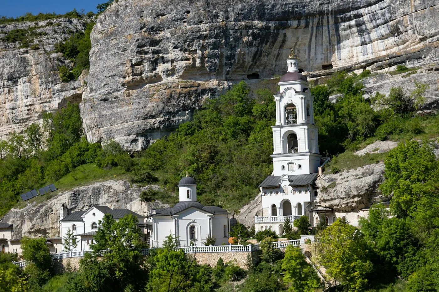
The Morača Monastery (1252) sits just off the canyon road and is worth a 20-minute stop, 13th-century frescoes, a walled compound on a terrace above the river.
Kolašin junction and the mountain road to Žabljak
At Mateševo the motorway ends (for now, the next section toward Andrijevica and the Serbian border is under construction) and you drop onto the old road into Kolašin, the ski-and-summer town at 954 m. From Kolašin to Žabljak is 70 km on winding mountain roads, through Šavnik, and the road surface varies from good to pothole-riddled depending on what the last winter did to it. Allow 90 minutes for this section, not less.
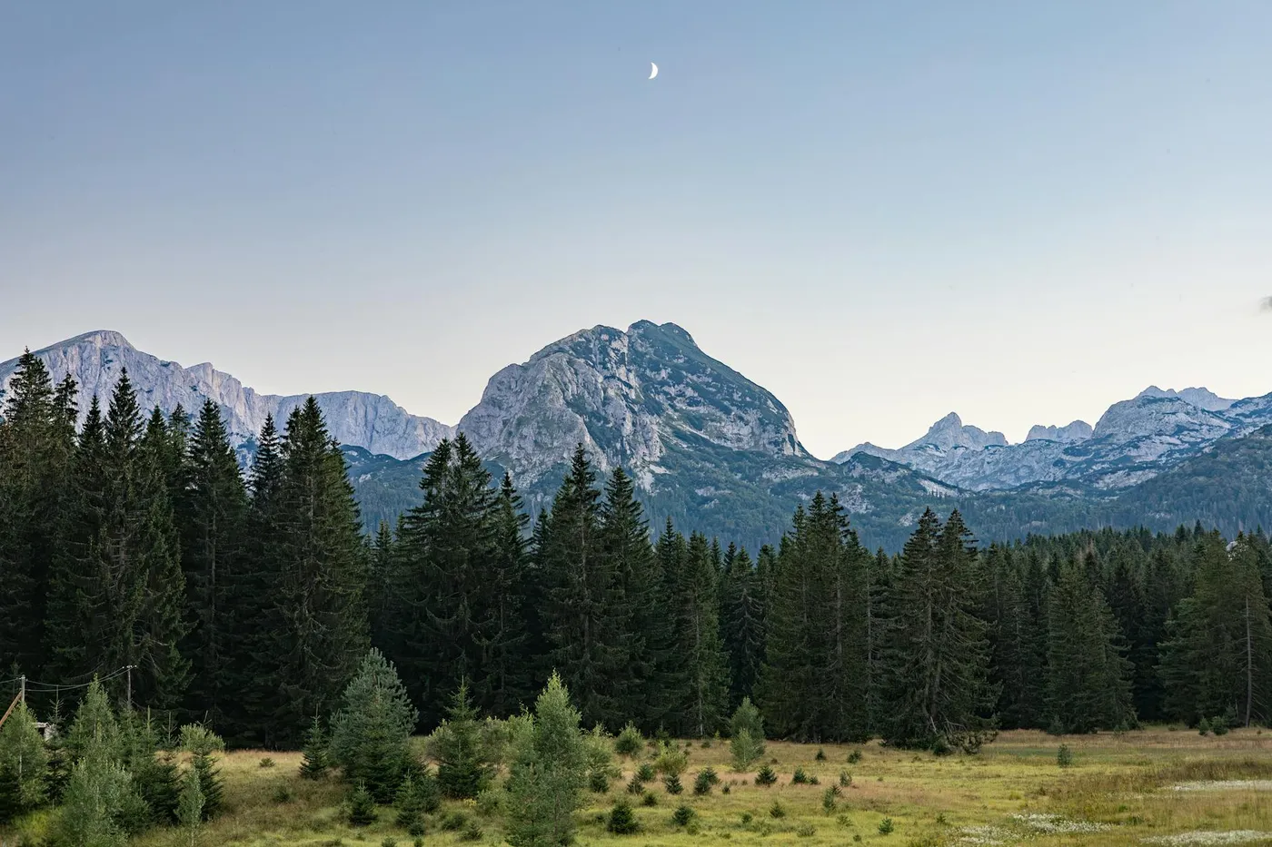
The approach to Žabljak crosses open high plateau at 1,400 m+, with the Durmitor massif rising directly in front of you. On a clear day you see Bobotov Kuk (2,523 m), the highest peak in the national park and the highest you can reach without technical climbing, white against the sky. The temperature has dropped 15°C since you left the airport, in July it is 32°C in Podgorica and 18°C when you open the car door in Žabljak.
Žabljak and the Durmitor National Park
Žabljak is the highest town in the Balkans, sitting on the Durmitor plateau at 1,465 m. Population around 1,700, a handful of pensions and hotels, two supermarkets, three petrol stations. The town itself is functional rather than pretty; the reason to come is the national park around it. Durmitor National Park is a historic site, 390 square kilometres of glacial lakes (18 of them), limestone peaks, and the Tara river canyon on its northern edge, the deepest in Europe.
The standard first visit is the Black Lake (Crno jezero), 3 km from the town centre. There is a €3 park entry fee (collected at a hut on the access road, cash preferred), a car park, and a 3.6 km gravel circuit around the lake that takes about 90 minutes at a walking pace. Serious hiking (Bobotov Kuk, the Škrka lakes) needs a full day and starts from trailheads a further 15 km into the park.
Altitude, weather, and driving the descent
Three practical things about 1,500-metre mountain driving that coastal rental-car drivers don't always think about. First, the engine feels sluggish above 1,000 m - naturally aspirated small-capacity rentals lose 15–20% of their power at Žabljak altitude, and hill starts need more revs than you expect. Turbocharged and diesel engines barely notice. Second, weather on the plateau is changeable and localised - it can be dry in Podgorica and snowing in Žabljak in late October. Check the forecast for Žabljak specifically, not for Montenegro generally. Third, the descent back to Podgorica loses 1,400 m of altitude in about 90 km; engine-brake the steep sections rather than riding the brake pedal the whole way down.
Winter driving on this route is a different animal - chains are legally mandatory beyond Kolašin from 15 November to 15 March, the last 20 km into Žabljak regularly close for hours in heavy snow, and the motorway itself can be restricted to chained vehicles only. The TGD winter driving post has the full chain rules, the DRSM road-status website, and what most rental agencies will and won't include.
TGD vs TIV for Durmitor
Worth saying plainly: if Durmitor is the reason you are flying into Montenegro, TGD beats Tivat comfortably. From TGD the drive is 2 hours on motorway-and-mountain road. From Tivat it is 3.5–4 hours over the Lovćen and Budva coast first. TGD is consistently cheaper for return rentals, and the queue at TGD passport control is typically half of TIV's. The only reason to fly into Tivat for a Durmitor trip is if your itinerary starts with a few days on the Bay of Kotor.
Pair this trip with a detour to Duklja on the return leg - the Roman ruins sit on the northern edge of Podgorica almost exactly on your path back from the motorway, and add 45 minutes for a total contrast with the glacial high country you just left.